UnseenPlacesUSA
CATEGORY: UI, Front End, Data, Data Research
TOOLKITS: HTML/CSS, JavaScript, Node.js, Express, Cheerio, Twit, MongoDB
COLLABORATORS: none
ROLE: Project Development, Research, Design, Programming

CATEGORY: UI, Front End, Data, Data Research
TOOLKITS: HTML/CSS, JavaScript, Node.js, Express, Cheerio, Twit, MongoDB
COLLABORATORS: none
ROLE: Project Development, Research, Design, Programming
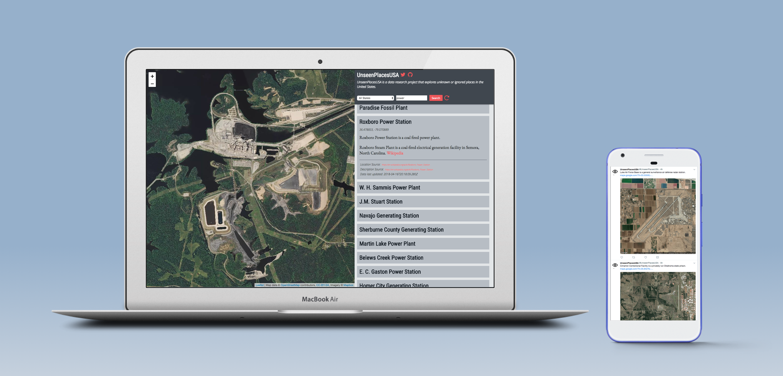
UnseenPlacesUSA is a website, Twitter bot and data set that explores unusual and ignored places in the United States. The website is a way for users to explore the dataset, while @UnseenPlacesUSA tweets a location every hour, with a picture, Google Maps Link, and a short description. The data for this project was assembled by scraping data from various sources including Wikipedia, hobbyist websites, and industry websites.

There are many reasons that a place may be unseen. Some places are remote, others may be unknown. Some places may be willfully ignored. Whether or not a place is unseen is largely a matter of perspective. A power plant is not unseen if you live next to it. A prison is not unseen if someone you know is incarcerated. A mine is not unseen if you work there. Unseen places reveal own point of view as much as they expose unknown locations.
The website allows users to explore the data set. You can search the data by state or by keyword. The website was built mostly in vanilla JavaScript, using leflet.js for the satellite images. The backend is a REST API in Node.js using Express and MongoDB Atlas.
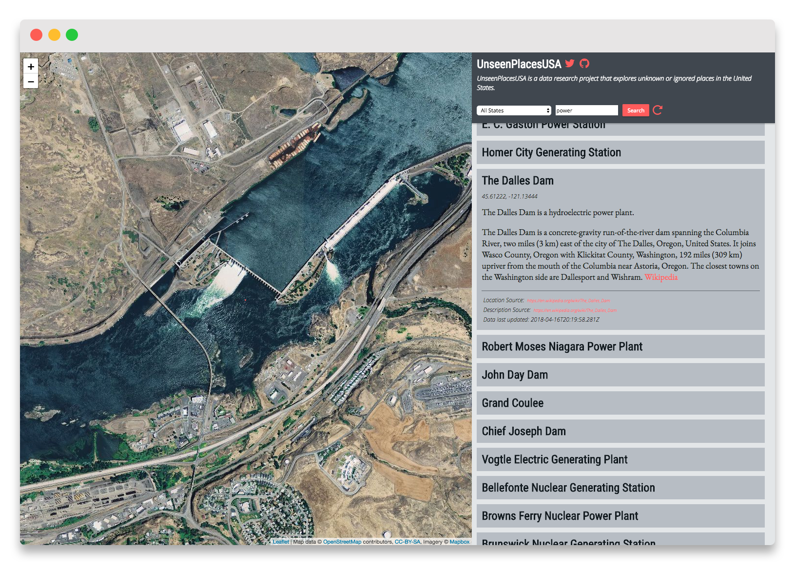
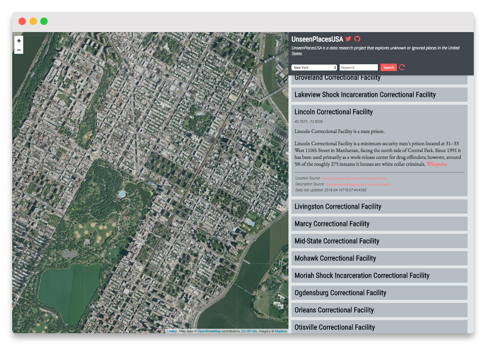
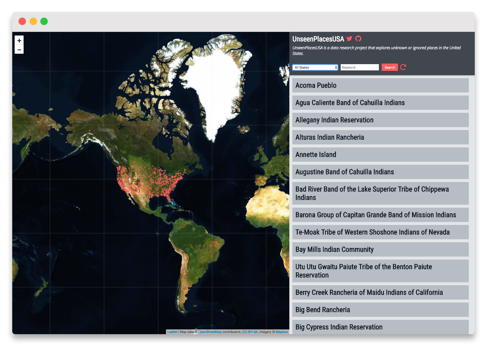
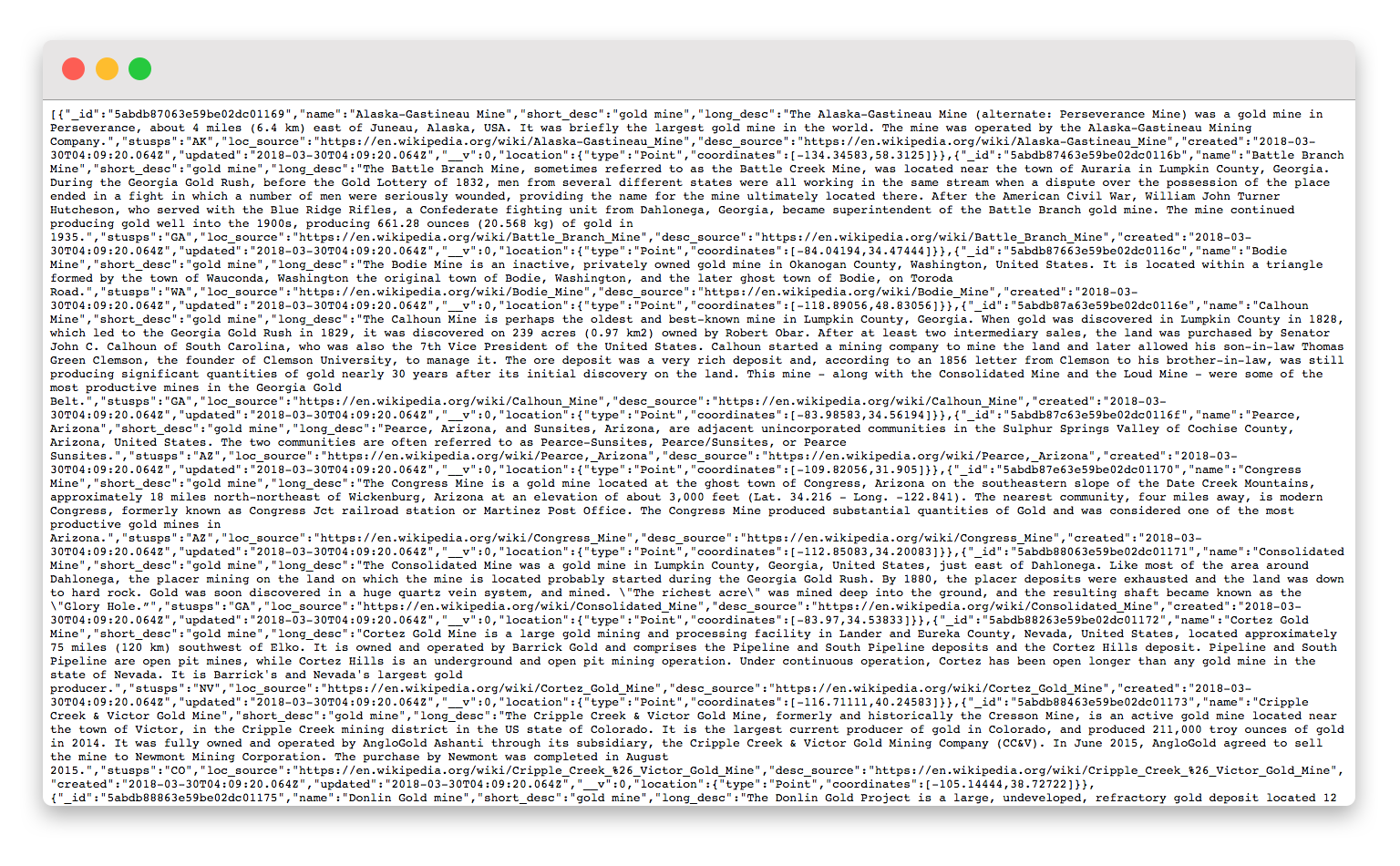

Unseen places is an ongoing collection of data. I created through my research into places that I found interesting and unusual. This dataset is not objective in any way and reflects my own interests, biases, and limitations. After I have found an interesting unseen place, I research where similar places can be found. Lists of locations can be found from many sources, such as Wikipedia, hobbyist websites, and industry websites. After I have found a location list I scrape the it using Node-Scrapy, convert it to a standard schema, and record it in a database collection.
If you know a place that belongs in the UnseenPlacesUSA dataset please send me an email.
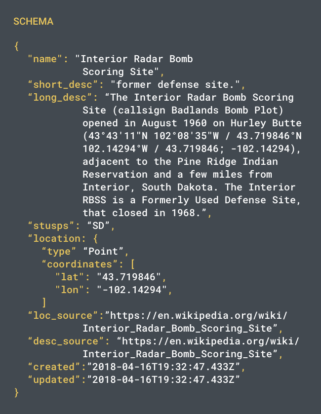
A Twitter bot is an ideal way to 'perform' the UnseenPlacesUSA data. Each tweet is a public broadcast of an unknown location. It almost feels like telling a secret. Tweeting the locations foregos any holistic understanding of this data, which reflects the incomplete and haphazard nature of its collection. Also, by using the Google Maps API I can attach a satellite image and location link to each tweet, so that people can see the location and investigate themselves.
